
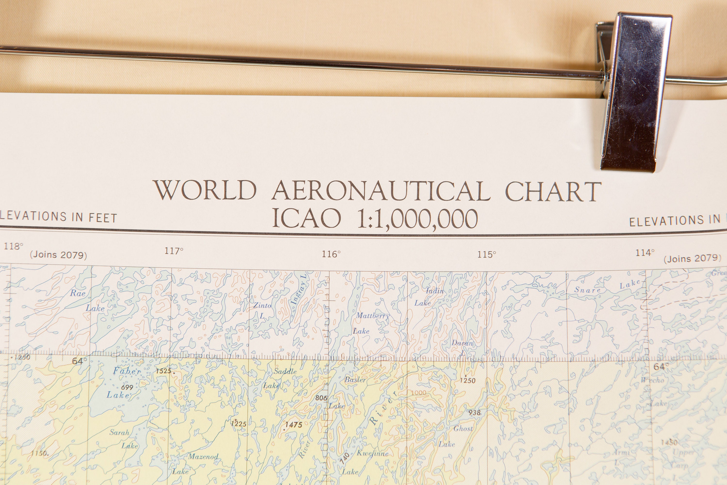
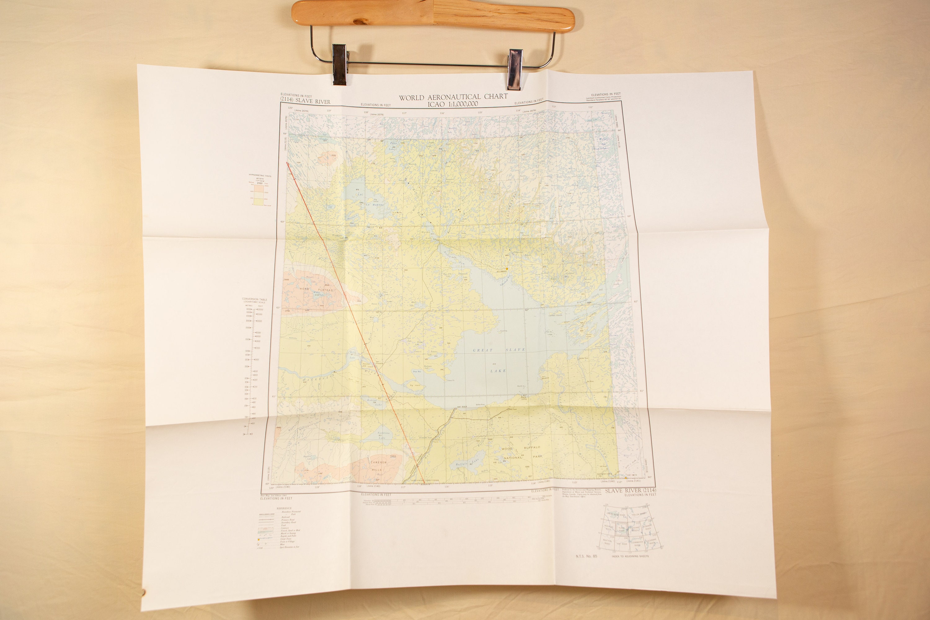
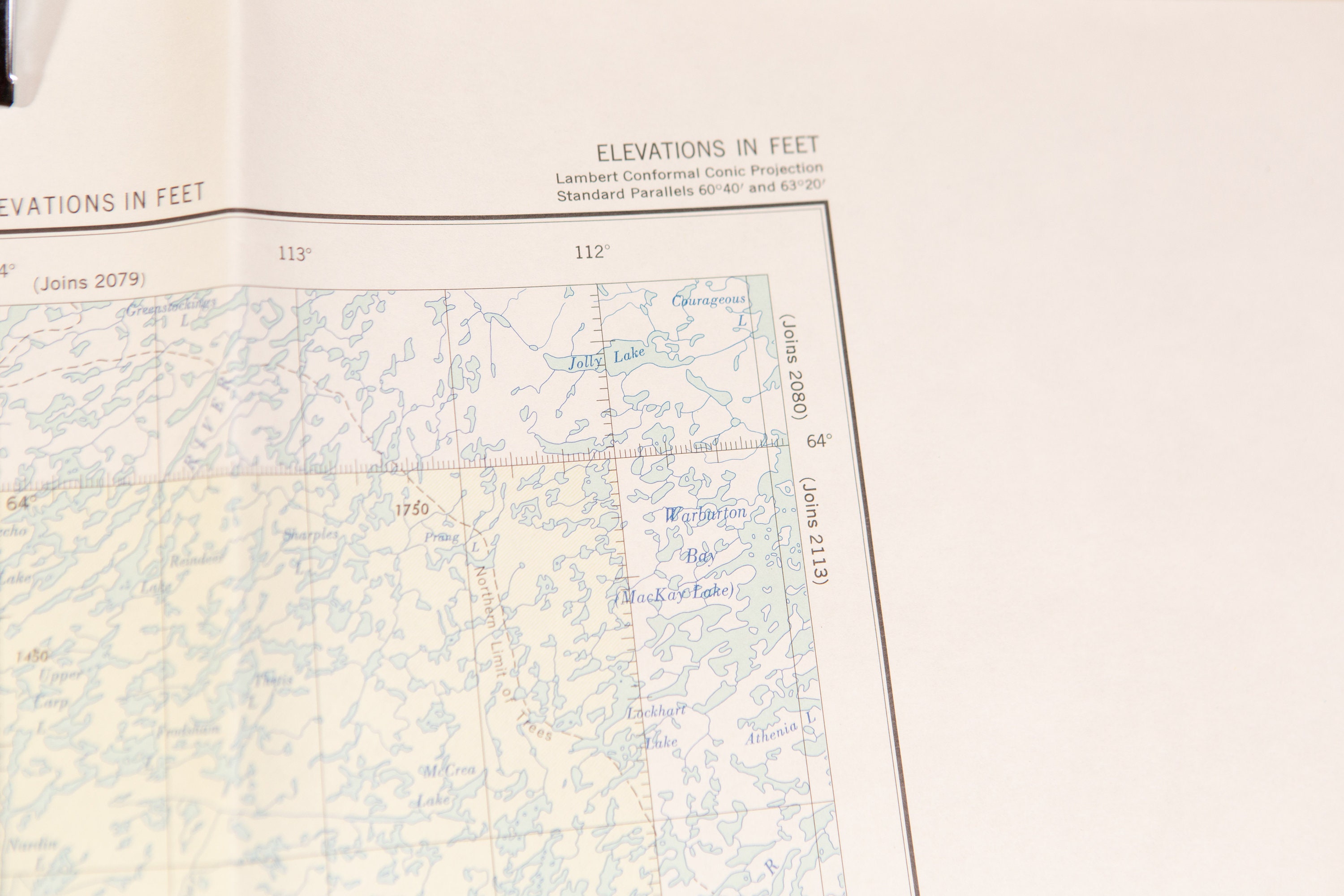
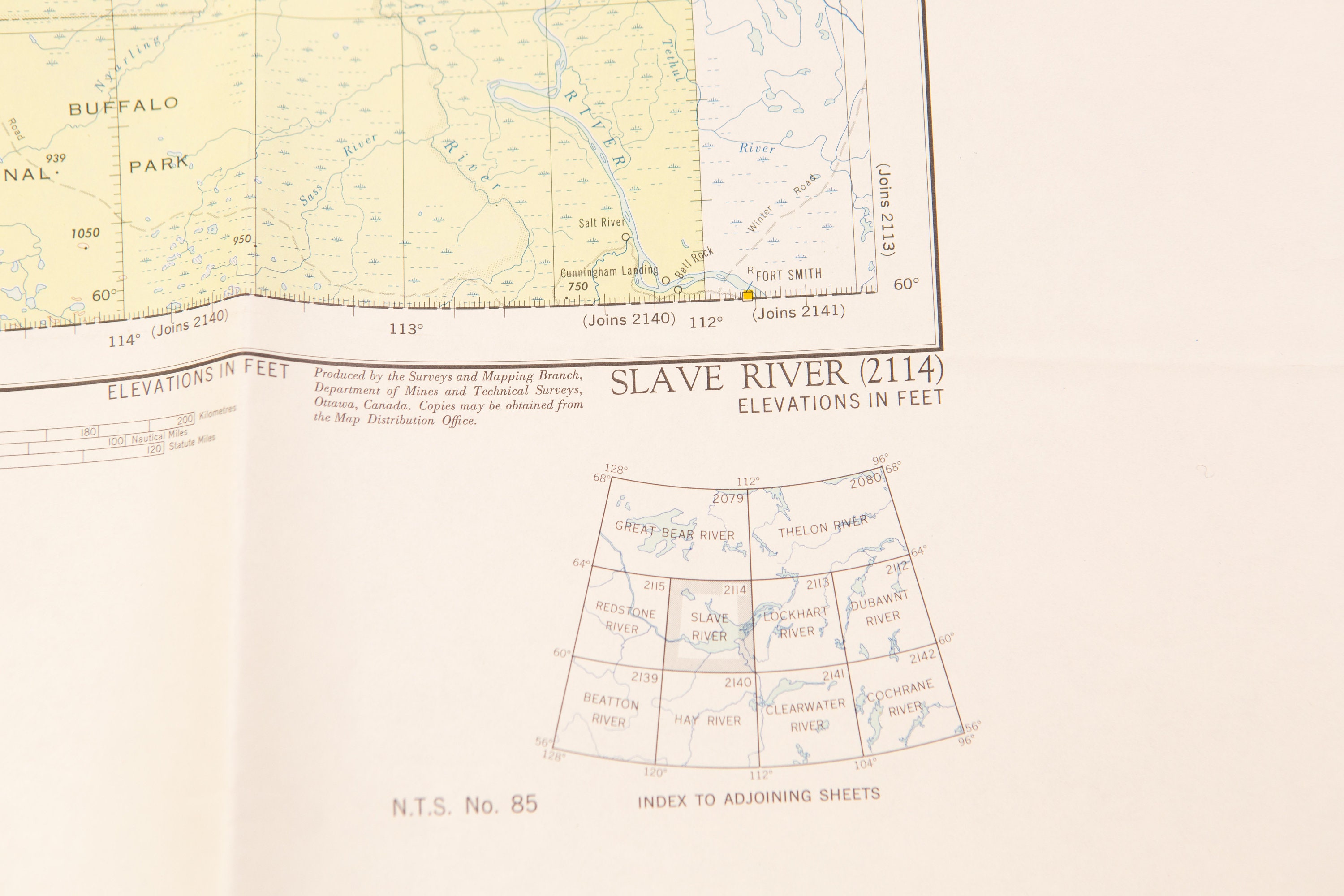
Vintage Map of Slave River, Northwest Territories, Canada Dated 1959 - by the Army Survey Establishment


$22.64
This is a vintage map of Slave River, Northwest Territories, Canada.
National Topographic System by the Canada Department of Mines and Technical Surveys,
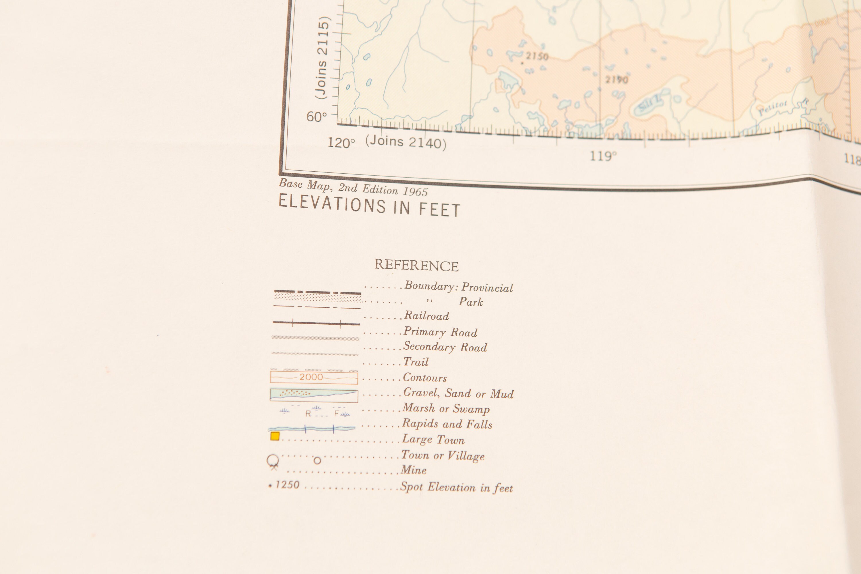
Base Map, Second Edition, 1965.
Measurements:
25.5 x29.25 inches.
CONDITION:
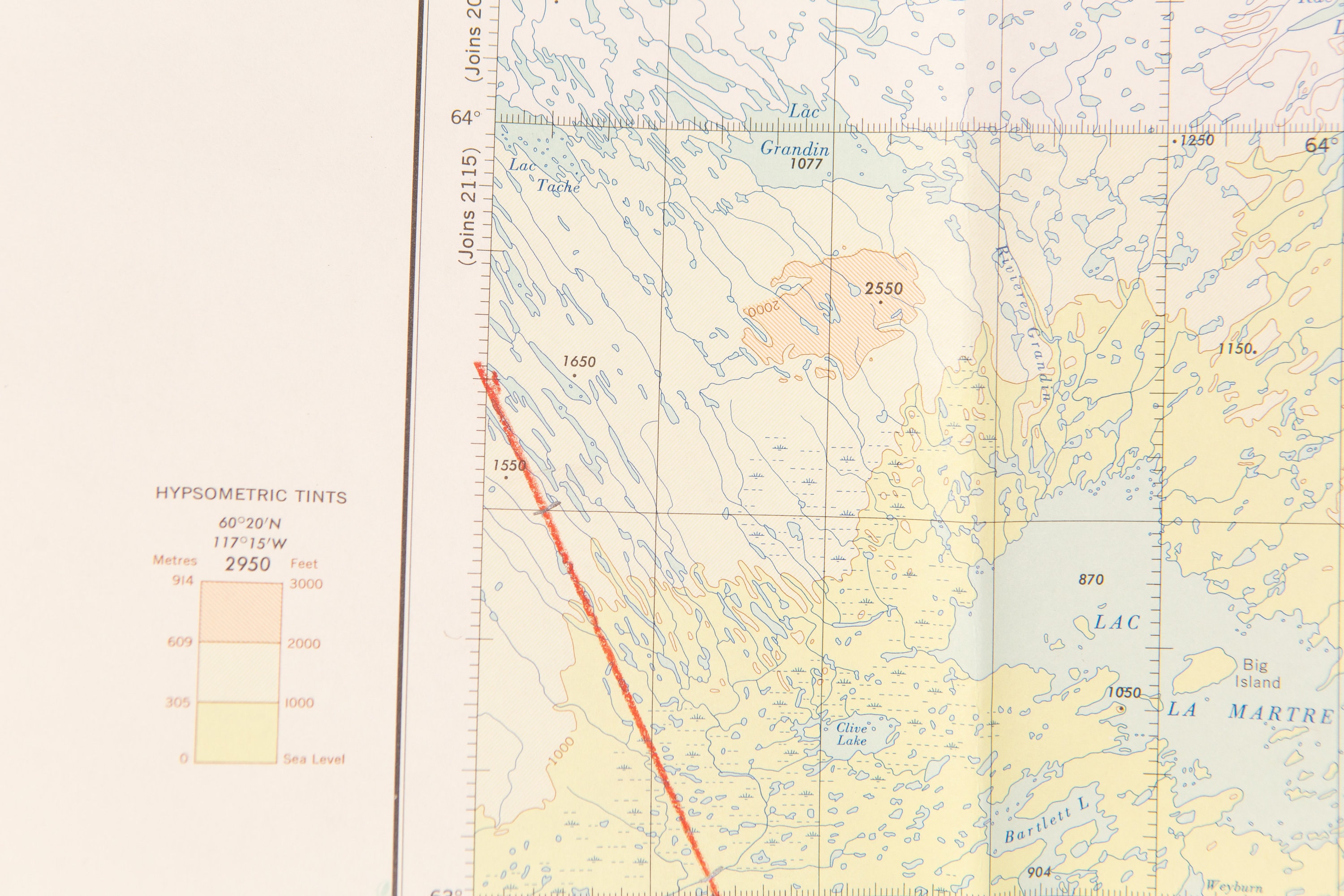
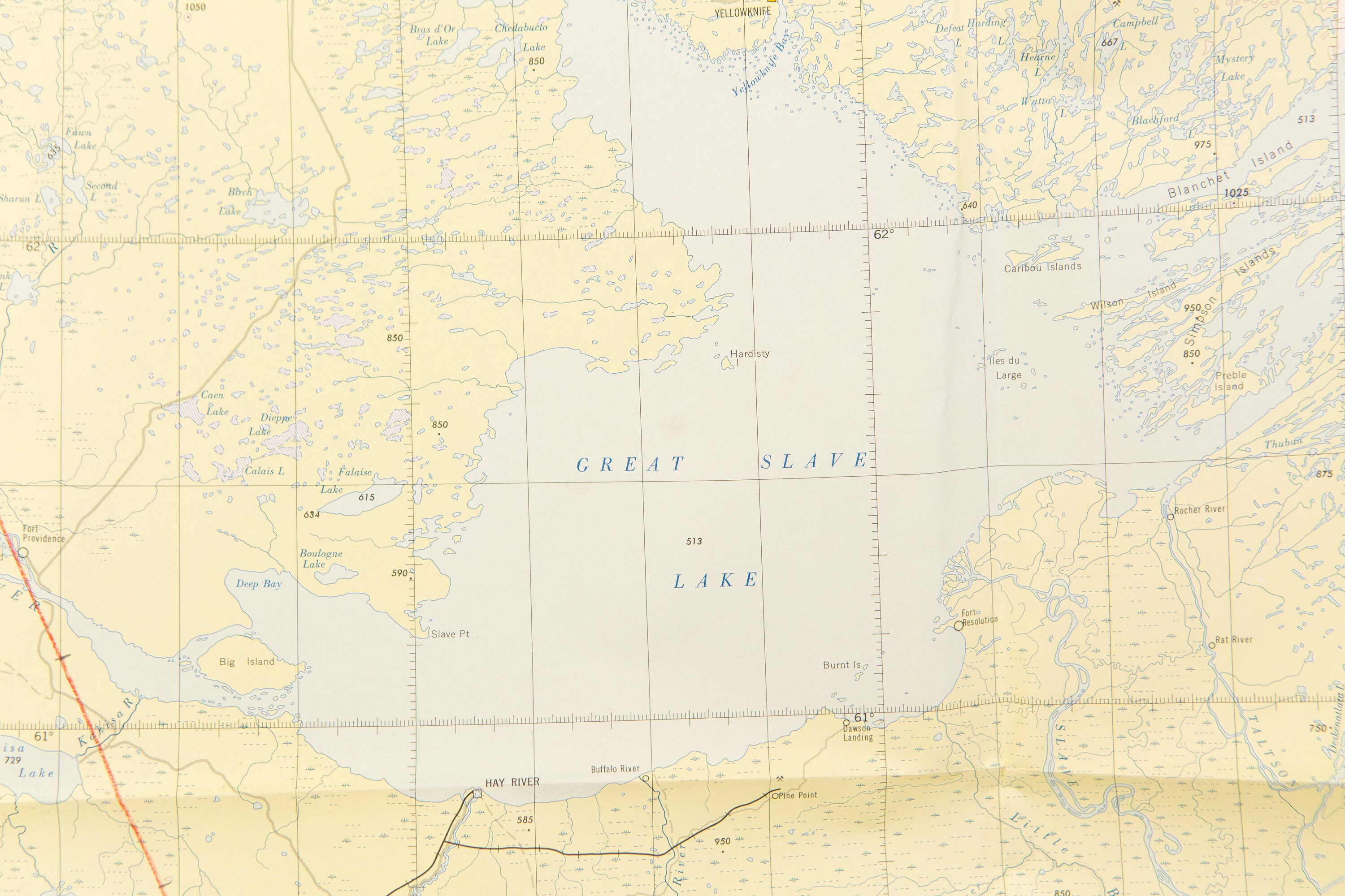
Good condition. There is a red crayon mark down the map. See photos.
SHIPPING:
Price includes tracking in Canada and USA. Items purchased from the USA are shipped from Niagara Falls, New York with USPS. Items bought in Canada are shipped from Toronto, Ontario with Canada Post. If you reside in Toronto, a pick up can be arranged. Overseas buyers (outside of USA and Canada) can expect the package to arrive in 2-4 weeks.
Find us on Instagram as @SecondVoyageVintage.
And if you have any questions, please feel free to send us a message!
Happy browsing :)
Shipping from Canada
Processing time
1-3 business days
Estimated shipping times
- North America : 3 - 9 business days
- Europe : 9 - 22 business days
- Australia, New Zealand and Oceania : 2 - 8 weeks
- Asia Pacific : 3 - 8 weeks
- Latin America and the Caribbean : 4 - 22 business days
- North Africa and the Middle East : 5 - 30 business days
I'll do my best to meet these shipping estimates, but can't guarantee them. Actual delivery time will depend on the shipping method you choose.
Customs and import taxes
Buyers are responsible for any customs and import taxes that may apply. I'm not responsible for delays due to customs.
Payment Options
Returns & Exchanges
I don't accept returns, exchanges, or cancellations
But please contact me if you have any problems with your order.